Aerial view of waterfront lots on Lake Winnipeg at Hnausa

Harbour View Estates · Hnausa, Manitoba

Your Vision. Your Shoreline. Your Legacy.

Six titled waterfront parcels on the shores of Lake Winnipeg. Never built upon. Online auction June 2026.

A Rare Opportunity

Build Your Dream Lake Winnipeg Waterfront Property

These six waterfront parcels in Hnausa, Manitoba, represent a rare find — titled, treed lots that have never been built upon. Each offers a custom-build opportunity on the shores of Lake Winnipeg, near the historic Hnausa Harbour.

Located just one hour from Winnipeg's north perimeter via Highway 8, and 13 minutes from Arborg, these parcels are accessed via Highway 222 and Anderson Road.

0.80 – 0.83 Acres

Per parcel

~139 ft

Waterfront frontage

🌲

85 – 100%

Natural canopy

Level

0 – 0.5% slope

Lake Winnipeg shoreline at Hnausa

Starting Bid

$100,000

🌲

Tucked Away & Tranquil

Surrounded by mature boreal forest with up to 100% natural canopy coverage. Each parcel offers genuine seclusion on the shores of Lake Winnipeg.

🏘

Community-Oriented

Part of the RM of Bifrost-Riverton, a municipality with deep roots and a welcoming community. Close to Arborg and the Interlake's amenities.

🌊

Year-Round Playground

Lake Winnipeg offers world-class fishing, boating, and swimming in summer, with snowmobiling, ice fishing, and cross-country skiing in winter.

Hnausa Harbour at sunset

Heritage

The Legacy of Hnausa: A History of New Iceland

In 1876, Icelandic settlers established the colony of New Iceland along the western shore of Lake Winnipeg. Hnausa — originally known as Breidavik — became one of the enduring communities of this settlement, carrying forward a tradition of resilience, self-reliance, and deep connection to the land and water.

Today, Harbour View Estates continues this legacy, offering a new generation the opportunity to build on these storied shores.

Select Your Shoreline

Available Parcels

Six waterfront parcels available through a transparent, website-led online auction. Click any parcel to view full details, dimensions, and auction information.

HikaShop Auction Component — Product listings with live bid functionality render here
Parcel 1 — Lake Winnipeg waterfront Coming Soon LOT 1

Parcel 1 — Roll 98630

0.83 acres · northernmost

139.14 Feet
🌲 100% canopy
📍 Anderson Road
🕒 6:00 PM

Starting Bid

$100,000

Closes

Tuesday, June 9

Roll No. 98630 is the largest property in this release, measuring 0.83 acres at the northern entry point of the subdivision. For those searching for waterfront lots for sale on Lake Winnipeg, this parcel provides 139.14 feet of direct shoreline frontage. The site features a conventional rectangular geometry with a maximum depth of 325.66 feet, making it well-suited for buyers seeking a generous and straightforward building site.

The property is characterized by 100% natural canopy coverage and level topography (0–0.5% slope). Situated adjacent to the Hnausa Dock Road and harbour access, this lot is strongly positioned for those who value proximity to the water for both recreation and residence. The stable clay base and absence of identified wetland issues provide a predictable canvas for a custom home build situated outside the required 30-metre riparian setback.

Parcel Facts

Roll Number98630
Legal DescriptionS1/2-21-22-4E
ZoningLake Residential Area (By-law 01-2022)
Acres0.83
Lot Dimensions139.14' (Road) x 325.66' (North) x 139.14' (Water) x 312.08' (South)
Waterfront Frontage139.14 Feet
Road Frontage139.14 Feet
TopographyLevel to nearly level (0 – 0.5% slope)
Soil ProfileSurface Texture: Clay
Natural Canopy100%
Road AccessYes – Anderson Road
ServicesUnserviced; Private Well and Holding Tank required
WetlandNo identified wetland issues in the subdivision area

Starting Bid

$100,000

Bid Increment

$1,000

Closes

Tuesday, June 9

Close Time

6:00 PM

Parcel 2 — Lake Winnipeg waterfront Coming Soon LOT 2

Parcel 2 — Roll 98625

0.82 acres · northern straightaway

139.14 Feet
🌲 100% canopy
📍 Anderson Road
🕒 6:30 PM

Starting Bid

$100,000

Closes

Tuesday, June 9

Roll No. 98625 is a 0.82-acre property situated on the northern straightaway of the Hnausa subdivision. As a Lake Winnipeg lakefront property for sale in this release, this parcel offers 139.14 feet of direct shoreline frontage. The lot features a northern boundary of 329.77 feet, providing a deep site profile that allows for greater distance from Anderson Road.

The property features 100% natural canopy coverage, offering the highest level of established privacy within the subdivision. The topography is level (0–0.5% slope) with a stable clay base, which provides predictable conditions for site engineering and foundation construction.

Parcel Facts

Roll Number98625
Legal DescriptionS1/2-21-22-4E
ZoningLake Residential Area (By-law 01-2022)
Acres0.82
Lot Dimensions139.14' (Road) x 329.77' (North) x 139.14' (Water) x 318.68' (South)
Waterfront Frontage139.14 Feet
Road Frontage139.14 Feet
TopographyLevel to nearly level (0 – 0.5% slope)
Soil ProfileSurface Texture: Clay
Natural Canopy100%
Road AccessYes - Anderson Road
ServicesUnserviced; Private Well and Holding Tank required
WetlandNo identified wetland issues in the subdivision area

Starting Bid

$100,000

Bid Increment

$1,000

Closes

Tuesday, June 9

Close Time

6:30 PM

Parcel 3 — Lake Winnipeg waterfront Coming Soon LOT 3

Parcel 3 — Roll 98620

0.80 acres · central section

139.14 Feet
🌲 90% canopy
📍 Anderson Road
🕒 6:00 PM

Starting Bid

$100,000

Closes

Wednesday, June 10

Roll No. 98620 is a 0.80-acre property located within the central section of the Hnausa subdivision. As a prime example of titled lakefront land Manitoba offers, this parcel features 139.14 feet of direct shoreline frontage with a symmetrical building envelope.

The property is characterized by a 90% natural canopy and a level topography with a 0–0.5% slope. The land consists of a stable clay base, which simplifies foundation planning and site preparation.

Parcel Facts

Roll Number98620
Legal DescriptionS1/2-21-22-4E
ZoningLake Residential Area (By-law 01-2022)
Acres0.80
Lot Dimensions139.14' (Road) x 318.68' (North) x 139.14' (Water) x 318.68' (South)
Waterfront Frontage139.14 Feet
Road Frontage139.14 Feet
TopographyLevel to nearly level (0 – 0.5% slope)
Soil ProfileSurface Texture: Clay
Natural Canopy90%
Road AccessYes - Anderson Road
ServicesUnserviced; Private Well and Holding Tank required
WetlandNo identified wetland issues in the subdivision area

Starting Bid

$100,000

Bid Increment

$1,000

Closes

Wednesday, June 10

Close Time

6:00 PM

Parcel 4 — Lake Winnipeg waterfront Coming Soon LOT 4

Parcel 4 — Roll 98615

0.80 acres · center of the subdivision

139.14 Feet
🌲 85–90% canopy
📍 Anderson Road
🕒 6:30 PM

Starting Bid

$100,000

Closes

Wednesday, June 10

Roll No. 98615 is a 0.80-acre property positioned at the center of the Hnausa subdivision along Lake Winnipeg. This parcel offers 139.14 feet of direct shoreline frontage with a slightly deeper southern boundary of 325.02 feet.

The property features 85–90% natural canopy coverage and level topography (0–0.5% slope) with a stable clay base. Its central position provides balanced proximity to both the northern entry and the southern turnaround.

Parcel Facts

Roll Number98615
Legal DescriptionS1/2-21-22-4E
ZoningLake Residential Area (By-law 01-2022)
Acres0.80
Lot Dimensions139.14' (Road) x 318.68' (North) x 139.14' (Water) x 325.02' (South)
Waterfront Frontage139.14 Feet
Road Frontage139.14 Feet
TopographyLevel to nearly level (0 – 0.5% slope)
Soil ProfileSurface Texture: Clay
Natural Canopy85–90%
Road AccessYes - Anderson Road
ServicesUnserviced; Private Well and Holding Tank required
WetlandNo identified wetland issues in the subdivision area

Starting Bid

$100,000

Bid Increment

$1,000

Closes

Wednesday, June 10

Close Time

6:30 PM

Parcel 5 — Lake Winnipeg waterfront Coming Soon LOT 5

Parcel 5 — Roll 98610

0.81 acres · southern section

139.14 Feet
🌲 90% canopy
📍 Anderson Road
🕒 6:00 PM

Starting Bid

$100,000

Closes

Thursday, June 11

Roll No. 98610 is a 0.81-acre property located in the southern section of the Hnausa subdivision. This parcel provides 139.14 feet of direct shoreline frontage with one of the longest depth profiles in the subdivision at 344.97 feet.

The property is characterized by 90% natural canopy coverage and level topography (0–0.5% slope) with a stable clay base. The extended depth provides additional buffer space from Anderson Road.

Parcel Facts

Roll Number98610
Legal DescriptionS1/2-21-22-4E
ZoningLake Residential Area (By-law 01-2022)
Acres0.81
Lot Dimensions139.14' (Road) x 325.02' (North) x 139.14' (Water) x 344.97' (South)
Waterfront Frontage139.14 Feet
Road Frontage139.14 Feet
TopographyLevel to nearly level (0 – 0.5% slope)
Soil ProfileSurface Texture: Clay
Natural Canopy90%
Road AccessYes - Anderson Road
ServicesUnserviced; Private Well and Holding Tank required
WetlandNo identified wetland issues in the subdivision area

Starting Bid

$100,000

Bid Increment

$1,000

Closes

Thursday, June 11

Close Time

6:00 PM

Parcel 6 — Lake Winnipeg waterfront Coming Soon LOT 6

Parcel 6 — Roll 98605

0.80 acres · southernmost

139.14 Feet
🌲 85–90% canopy
📍 Southern Turnaround
🕒 6:30 PM

Starting Bid

$100,000

Closes

Thursday, June 11

Roll No. 98605 is a 0.80-acre property located at the southernmost point of the Hnausa subdivision. This parcel features 139.14 feet of direct shoreline frontage with a lot that widens toward the water.

The property features 85–90% natural canopy coverage and level topography (0–0.5% slope) with a stable clay base. Positioned at the end of Anderson Road's southern turnaround, this lot offers maximum privacy with no through-traffic.

Parcel Facts

Roll Number98605
Legal DescriptionS1/2-21-22-4E
ZoningLake Residential Area (By-law 01-2022)
Acres0.80
Lot Dimensions134.22' (Road) x 318.68' (North) x 139.14' (Water) x 329.77' (South)
Waterfront Frontage139.14 Feet
Road Frontage134.22 Feet
TopographyLevel to nearly level (0 – 0.5% slope)
Soil ProfileSurface Texture: Clay
Natural Canopy85–90%
Road AccessYes - Anderson Road (Southern Turnaround)
ServicesUnserviced; Private Well and Holding Tank required
WetlandNo identified wetland issues in the subdivision area

Starting Bid

$100,000

Bid Increment

$1,000

Closes

Thursday, June 11

Close Time

6:30 PM

Auction Guide

How the Online Auction Works

Everything you need to know about registering, bidding, and purchasing a waterfront parcel.

👤

STEP 01

Register

Create an account on the Auction Hub. Provide your full name, mailing address, email, and phone number. Allow up to 2 business days for admin approval. You must be registered at least 24 hours before the closing window.

📅

STEP 02

Review the Schedule

All six parcels are released together and close sequentially over three evenings (June 9–11, 2026). Each parcel has a specific closing time. See the schedule table below.

STEP 03

Place Your Bids

Starting bid is $100,000 per parcel with $1,000 minimum increments. A Soft Close policy applies: bids in the final 2 minutes extend the clock by 2 minutes, repeating until no new bids arrive.

📄

STEP 04

Terms of Sale

All parcels are sold As-Is, Where-Is. The purchaser is responsible for GST, land transfer taxes, registration fees, and legal costs.

🏆

STEP 05

Winning & Deposit

Successful bidders receive immediate electronic notification. A non-refundable deposit of 10% must be submitted within 5 business days. Legal closing completes within 30 days through the RM's solicitor.

STEP 06

Questions?

Contact the RM Administration Office at 1-204-376-2391 or info@bifriv.ca. Office hours: Monday – Friday, 8:30 AM to 4:30 PM.

Auction Timeline

Closing Schedule

All times are Central Time. Subject to Soft Close extensions.

LotRoll #AcresClose DateBidding Closes
Lot 1 98630 0.83 Tuesday, June 9 6:00 PM
Lot 2 98625 0.82 Tuesday, June 9 6:30 PM
Lot 3 98620 0.80 Wednesday, June 10 6:00 PM
Lot 4 98615 0.80 Wednesday, June 10 6:30 PM
Lot 5 98610 0.81 Thursday, June 11 6:00 PM
Lot 6 98605 0.80 Thursday, June 11 6:30 PM

Starting Bid

$100,000

Bid Increment

$1,000

Soft Close

2 min

Important Information

Development Agreement & Terms

Development Agreement

A Development Agreement will be registered on the title of each property to ensure orderly residential development and shoreline protection. Key provisions include:

Construction Timeline

The principal residence must be completed within 30 months from the date of title transfer.

Minimum Dwelling Size

The residence must contain a minimum of 1,000 sq ft of habitable floor area (excluding garages, decks, and porches).

Security Deposit

A Development Security Deposit of $15,000 – $20,000 (determined by Council) is required as an incentive for timely development.

Riparian Setback

A 30-metre (99-foot) riparian setback from the high-water mark applies. No permanent structures are permitted within this zone.

Short-Term Rental

The property is intended primarily for residential use; it may not be operated primarily as a short-term rental business (e.g., Airbnb).

RV Usage

Recreational Vehicles cannot be used as permanent dwellings. Temporary RV accommodation during construction is subject to municipal approval.

Auction at a Glance

Format

Online-only auction with a Soft Close (bids in the final 2 minutes extend the clock).

Starting Bid

$100,000

Registration

Bidders must provide Full Name, Mailing Address, Email and Phone.

Bidding Increments

$1,000

Successful Bid

Requires a 10% non-refundable deposit within 5 business days.

Terms

Sold As-Is, Where-Is. The purchaser is responsible for GST, land transfer tax, and legal fees.

Ready to Claim Your Shoreline?

Register now to participate in the online auction. Bidding opens June 2026 with all six parcels released together.

Contact Us

Municipal Office

P.O. Box 70
329 River Rd
Arborg, MB R0C 0A0

Phone: 204-376-2391
Fax: 204-376-2742

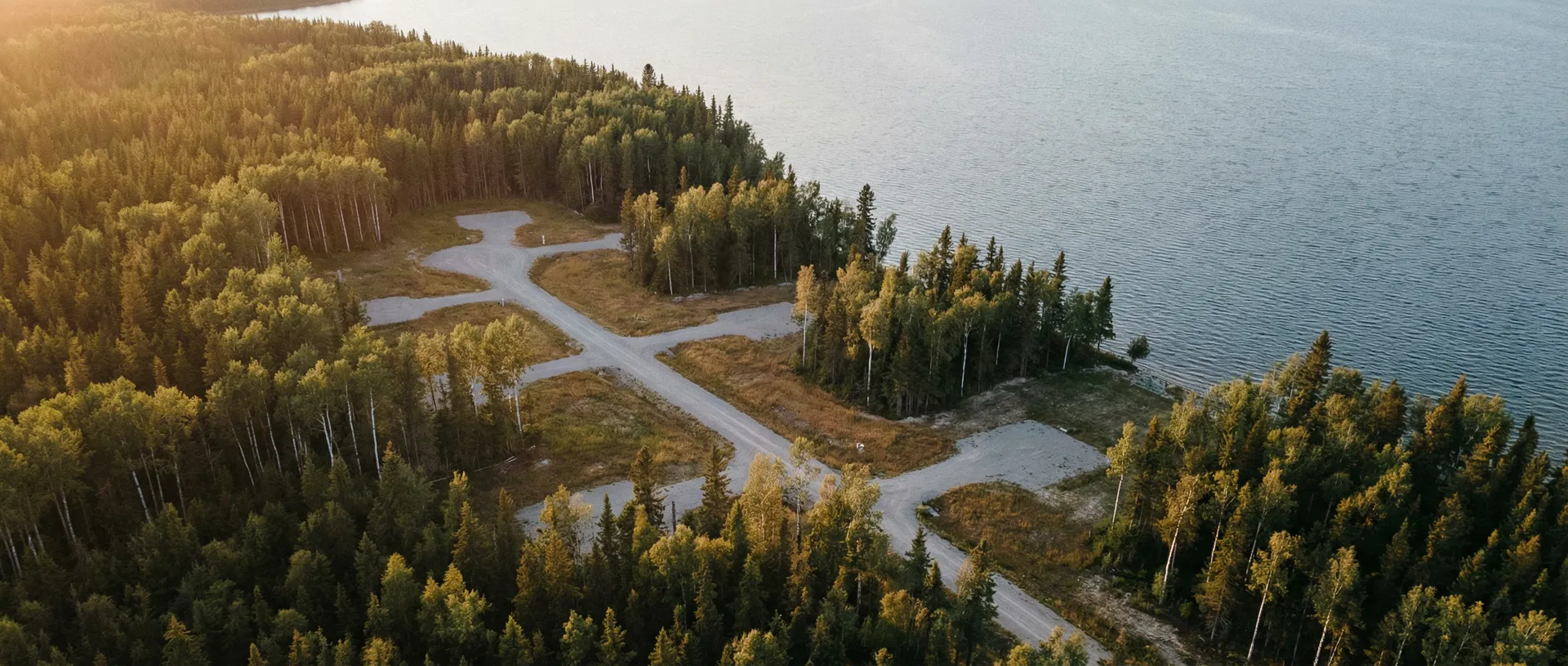
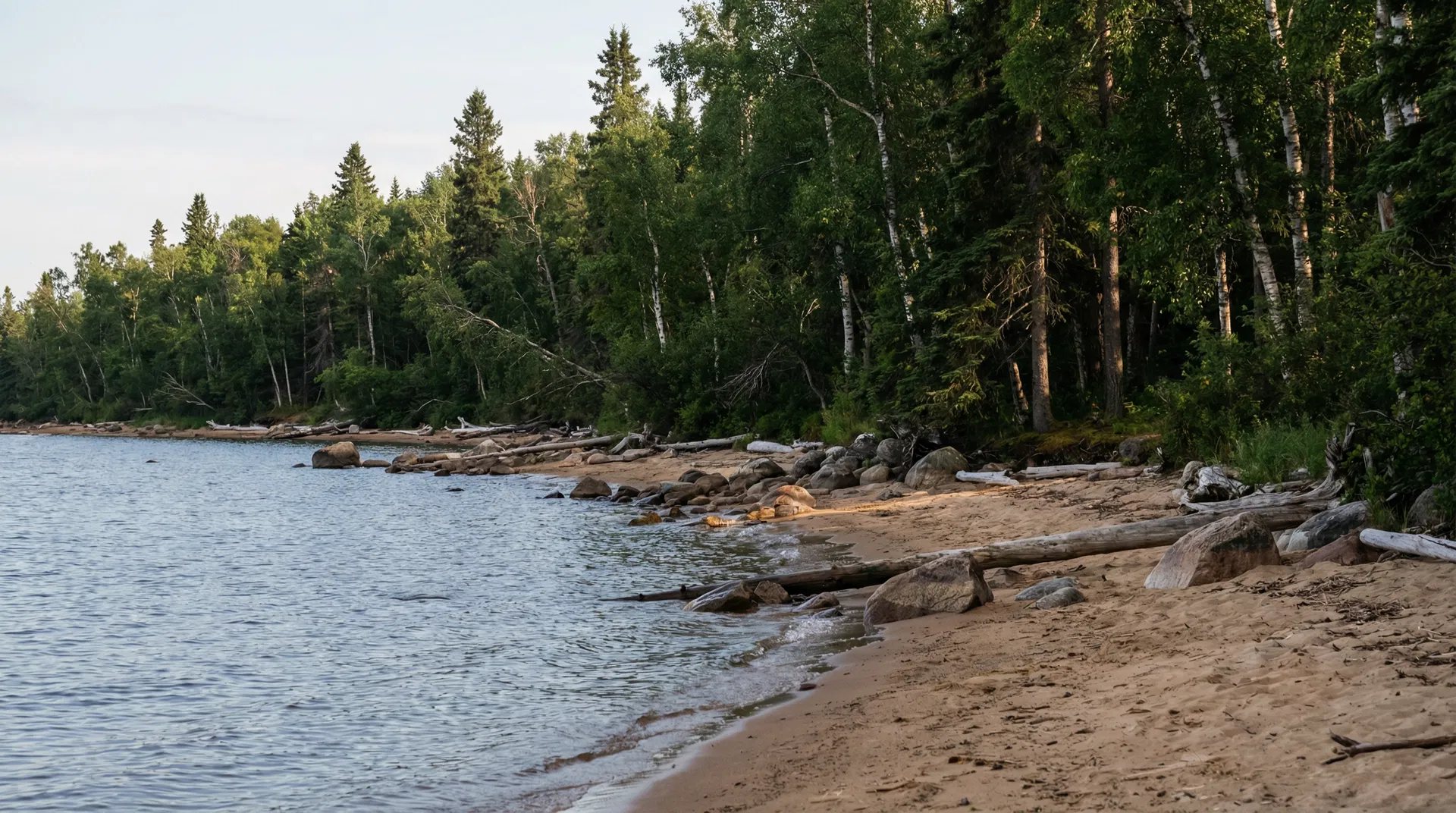
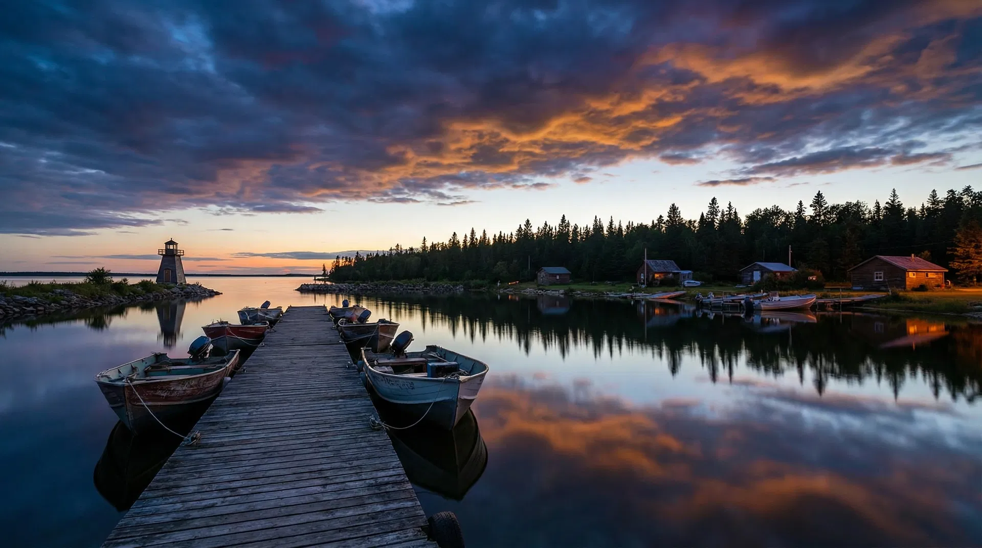
A Place to Live, Visit, and Grow

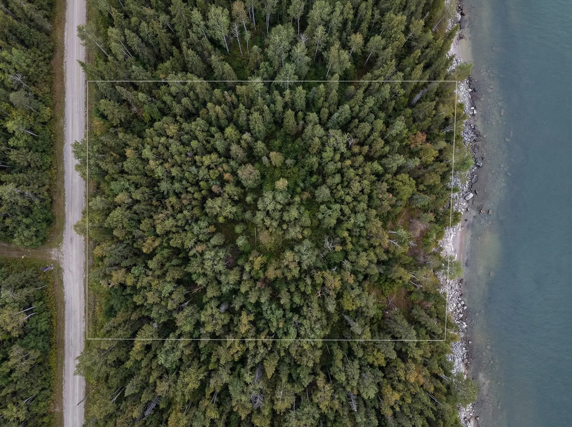
Member & Auction Access

Become a member to access exclusive auctions, stay updated on community events, and take part in local opportunities.